
Maps

AAA facilities
Find nursing home and assisted living facilities in the eight-county Area Agency on Aging region.

Regional bicycle and pedestrian counts
Visualize bicycle and pedestrian counts aggregated from local, regional, and state data.

Bike facilities
Discover the region’s cycling network, including bike routes and bike share stations.

Census data reliability
Explore Census ACS data reliability topics and learn how DRCOG uses reliability to make data decisions.
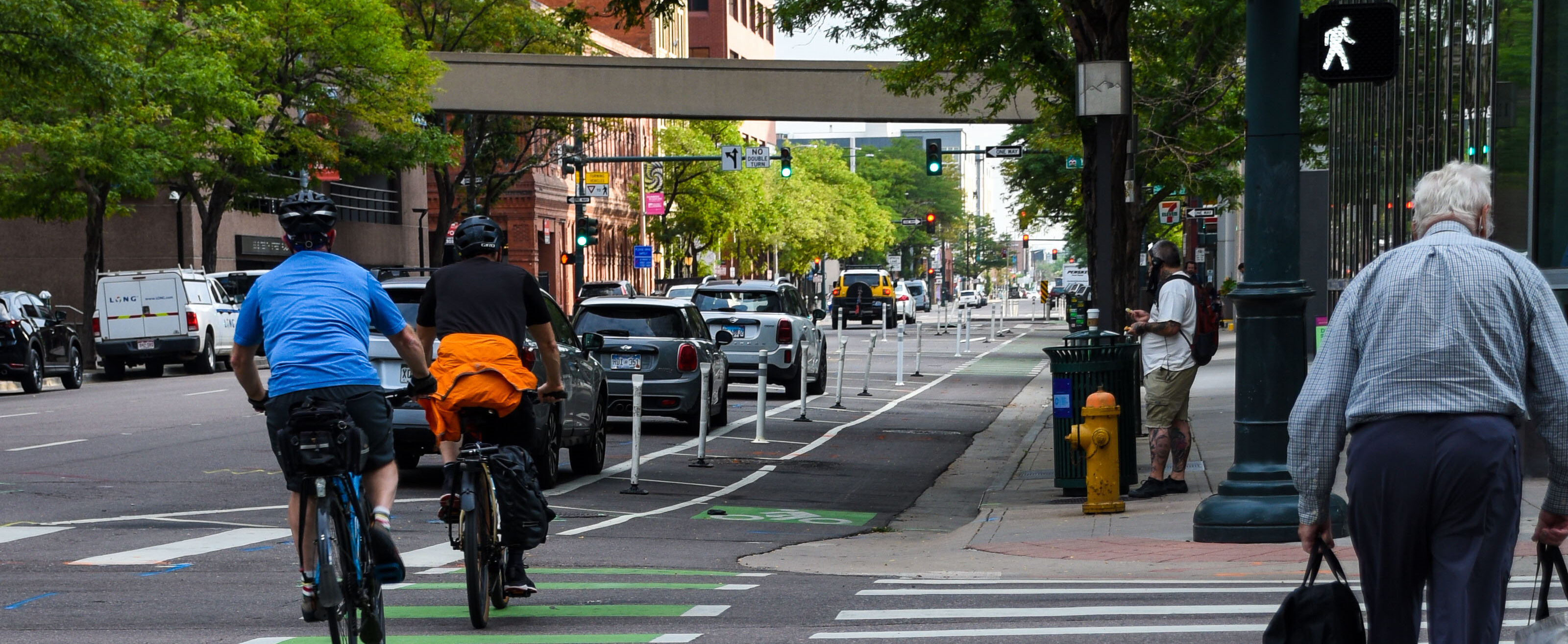
Complete streets
See the regional street types as defined in the Complete Streets Toolkit and learn more about creating complete streets.

Corridor planning
See the current transportation corridor planning projects happening in the Denver region.

DRCOG data tool
Analyze an area of interest with transportation, demographic, and other planning data.
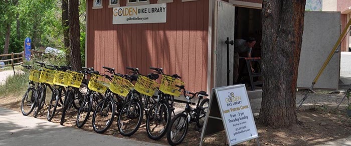
Micromobility
Learn about shared micromobility and see the inventory of programs in Colorado.

Race and ethnicity
Use the time slider to watch different race and ethnic populations grow and shift in the Denver metro over time.
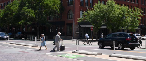
Regional Vision Zero
Learn about DRCOG's work towards zero fatalities and serious injuries on Denver region's transportation system.
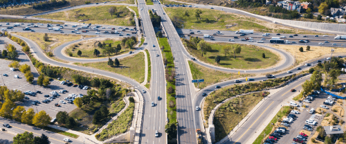
RTP projects
Learn about the major roadway and rapid transit capacity projects funded in the 2050 Regional Transportation Plan.

Schoolpool
View locations that use DRCOG’s Schoolpool program to help families get children to and from school.
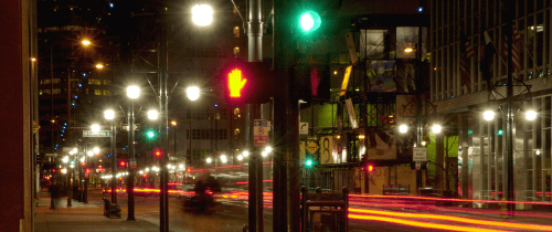
Signal timing briefs
Get information on traffic signal timing projects completed through local and regional partnerships.

Transportation improvement projects
Learn about roadway, transit, and bicycle/pedestrian projects to be completed with federal funds.

Traffic counts
Investigate traffic volume data for the region from 2010 to 2022 and discover which corridors are busiest.
Transportation Management Associations
Lookup and address to find a corresponding TMA.

Traffic signals
Discover contact information for traffic signals in the Denver region to report an issue.
Static maps
Browse our collection of PDF maps.