
Open data for the Denver Region
The Regional Data Catalog is a repository of open data managed by the Denver Regional Council of Governments. The datasets in the catalog support communities in making informed, data-driven decisions in areas including mobility land use, and changing demographics.








Data consortium
An open committee of GIS professionals in our region interested in collaborative data initiatives. Join us for quarterly meetings and newsletters.
Aerial photography project
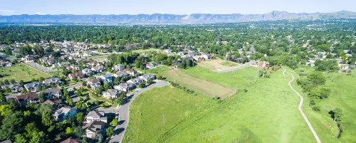
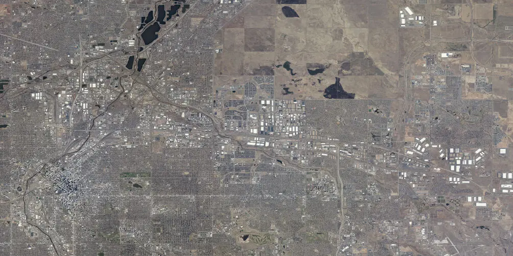
A biennial acquisiton of high-resolution imagery facilitated by DRCOG on behalf of 50-plus public entities and local governments in the region.